Washington, D.C. forecast: Mostly cloudy skies Wednesday, with milder temperatures and limited precipitation risk
Milder air arrives after a recent winter storm
Washington, D.C., is set for a mostly cloudy but noticeably milder Wednesday, February 25, 2026, as temperatures rebound after the region’s recent bout of wintry weather. Morning readings are expected to start out in the 30s to near 40 degrees, then climb into the upper 40s to mid-50s during the afternoon.
While clouds will be a frequent feature, breaks of sun are expected at times. A light-to-moderate southwest breeze should help reinforce the warming trend through the day.
What to expect Wednesday: clouds, a breeze, and only isolated showers
The main forecast theme is a transition toward more seasonable-to-mild conditions with minimal disruption. The best chance for precipitation appears to be in the morning, when isolated showers could occur. With temperatures near the rain-snow line early, a brief rain or snow shower cannot be ruled out, but the overall signal for measurable accumulation is low.
Morning: Mostly cloudy; temperatures in the 30s to near 40 degrees; a small chance of a brief rain or snow shower.
Afternoon: Partly to mostly sunny at times; highs generally in the upper 40s to mid-50s; southwest winds.
Evening and overnight: Partly cloudy; lows in the mid- to upper 30s.
Thursday uncertainty: rain or a wintry mix remains possible
Forecast confidence decreases for Thursday, when a new system could bring precipitation back to the region. The most likely outcomes include light rain in and around the District and a potential for wet snow or a rain-snow mix closer to and north of the metropolitan area, depending on how cold air and moisture align. Daytime highs are expected to hold in the 40s to near 50 degrees.
Even small shifts in storm track and temperature profiles can determine whether Thursday’s precipitation falls as plain rain or includes wet snow north of the city.
Looking ahead: a mild end of week, then monitoring early next week
Friday and Saturday are trending drier and relatively mild for late February, with temperatures largely ranging from the upper 40s to near 60 degrees under partly sunny skies. Beyond the weekend, early next week is being watched for a possible return to colder, more wintry conditions. Specific timing and impacts remain uncertain at this range, but the setup could support at least a period of wintry precipitation if colder air settles in as additional disturbances approach.
Four suspected MS-13 members indicted in 14-year-old Washington teen’s killing; body found in Maryland park
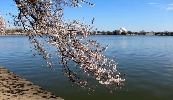
National Cherry Blossom Festival 2026 in Washington: 10 key dates for major events and travel planning
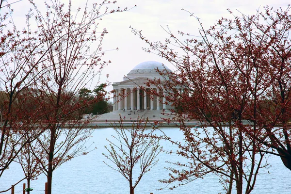
Cold winter temperatures could delay Washington’s Tidal Basin cherry blossom peak bloom into late March window