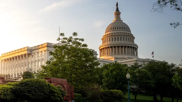
Washington, D.C. forecast: Cloudy, chilly Thursday with afternoon showers before clearing and warmer weekend ahead
Cloud cover dominates as a weak system brings rain later Thursday
Washington, D.C., is set for a gray and cool Thursday, February 26, with clouds holding firm through much of the day and rain developing as the day progresses. Conditions are expected to remain on the chilly side for late February, with temperatures rising only modestly before turning wetter during the afternoon.
Forecast guidance indicates periods of rain Thursday, with the most consistent precipitation expected to end by early afternoon. Daytime temperatures are projected to top out near 48°F, with overnight lows near 33°F as the system exits and colder air settles back in behind it.
Timing and impacts: light-to-moderate rain, slower commutes, reduced visibility
The primary operational concern for Thursday is timing. Rain arriving during the latter part of the morning into the afternoon can coincide with daytime travel and school or work schedules, increasing the likelihood of slower commutes and reduced visibility. While the rain is not expected to be prolonged into the evening, intermittent showers can still create slick road conditions, particularly on bridges and elevated ramps where surface temperatures can run cooler.
Periods of rain are expected to taper off by early afternoon Thursday as drier air moves in from the west.
Wind and temperature pattern shifts heading into Friday
Behind Thursday’s rain, Friday, February 27, is expected to trend drier with more sunshine. Morning conditions may be breezy, but the overall pattern supports a modest warm-up, with highs near 55°F and lows around 35°F.
The shift from damp, cool conditions Thursday to brighter skies Friday reflects a transition from a passing frontal boundary to a short-lived ridge of higher pressure—often a setup that delivers clearer skies but can also produce a noticeable morning chill.
Weekend outlook: sunshine and a notable warm-up by Saturday
Saturday, February 28, is forecast to bring mostly sunny skies and a stronger temperature rebound. Highs are projected near 64°F, with lows near 42°F—marking a significant change from Thursday’s damp chill.
Thursday (Feb. 26): Cloudy with periods of rain ending early afternoon; high near 48°F.
Friday (Feb. 27): Mostly sunny after a breezy morning; high near 55°F.
Saturday (Feb. 28): Mostly sunny and warmer; high near 64°F.
What residents should plan for
For Thursday, the most practical preparations involve rain timing and travel: allowing extra time for commutes, using headlights in reduced visibility, and anticipating slick pavement during and shortly after showers. Conditions improve going into Friday, and the weekend forecast supports outdoor plans as temperatures climb and skies brighten.
Four suspected MS-13 members indicted in 14-year-old Washington teen’s killing; body found in Maryland park
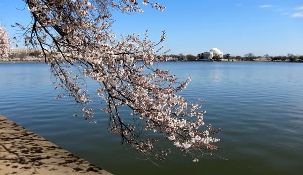
National Cherry Blossom Festival 2026 in Washington: 10 key dates for major events and travel planning
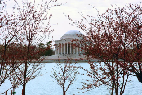
Cold winter temperatures could delay Washington’s Tidal Basin cherry blossom peak bloom into late March window