Brisk Morning Flurries Give Way to Afternoon Sunshine Across the District
Morning: A Cold and Gusty Start
Residents waking up in the nation’s capital this Wednesday morning, February 25, 2026, are greeting a brisk and unsettled start to the day. Early morning temperatures are hovering in the mid-30s, with a biting wind chill making it feel closer to the upper 20s. Observations indicate a 10% to 15% chance of light precipitation through the morning commute, which may manifest as a few stray rain showers or even a light snow flurry as moisture moves through the region. Northwest winds are particularly active this morning, sustained at 17 to 19 mph with gusts reaching as high as 33 mph. While no significant accumulation is expected within the District, commuters should remain alert for damp patches on the roads and strong crosswinds on bridges and open highways.
Afternoon: Clearing Skies and Rising Temperatures
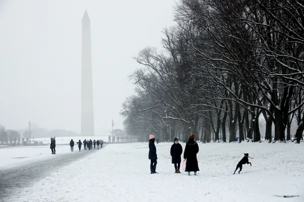
The weather story for the afternoon is one of rapid improvement. As the low-pressure system pushes further east, the heavy cloud cover that defined the morning hours will begin to break apart. By midday, Washington D.C. will see a transition to partly sunny skies, allowing temperatures to climb significantly from their morning lows. Highs are expected to reach the mid-50s, specifically peaking around 54°F to 55°F between 2:00 PM and 4:00 PM. This represents a welcome mild stretch for late February, though the continued northwest breeze will maintain a crisp feel to the air. The humidity is expected to drop to approximately 53%, making for a bright and relatively dry afternoon for those heading out for a walk on the National Mall or a lunch break outdoors.
Evening: Calm and Cooling Down
As the sun sets, the gusty winds that persisted through much of the day will finally begin to diminish. The evening forecast calls for partly cloudy skies with temperatures gradually retreating back into the 40s after sunset, eventually settling into the mid-30s overnight. Wind speeds will drop to a more manageable 5 to 10 mph, providing a much calmer atmosphere for the evening hours compared to the turbulent morning start. No further precipitation is expected tonight, though cloud cover may increase slightly toward the early hours of Thursday as the next weak boundary approaches the Atlantic corridor.
Regional Warnings and Commuter Advice
While Washington D.C. remains free of any official weather watches or warnings today, a Winter Weather Advisory is currently in effect for Western Maryland and parts of West Virginia until 10:00 AM. Travelers heading west into the Appalachian highlands should be prepared for more significant snow accumulations of 2 to 5 inches. Within the immediate D.C. metro area, the primary concern remains the gusty winds during the morning hours. High-profile vehicles should exercise caution, and residents are encouraged to secure any lightweight outdoor items that may be displaced by 30+ mph gusts. Looking ahead, the mild afternoon temperatures will be short-lived as a cooler, more unsettled pattern is predicted to return for the latter half of the week.

Providence Bishop Bruce Lewandowski leads Capitol Hill pilgrimage urging Congress to advance immigration reform proposals

Capitol Police and protester treated for injuries after disruption of Senate Armed Services hearing in Washington
Four suspected MS-13 members indicted in 14-year-old Washington teen’s killing; body found in Maryland park