Wintry Mix Could Return to Washington Region Thursday as Temperatures Fall After Record Warmth
A sharp temperature swing is forecast across the District, Maryland and Virginia
After record-breaking warmth early this week, the Washington region is expected to see a rapid cooldown into Thursday, March 12, with precipitation potentially changing character as colder air arrives. Forecast guidance for the metro area points to rain showers during the early part of Thursday, with a chance that some locations briefly see wet snowflakes mixed in as temperatures fall behind a passing cold front.
The temperature reversal follows unusually warm conditions recorded Tuesday, when the region’s main airports reported mid-80s readings, a level more typical of late spring than early March. Forecasters expect the front’s passage to shift winds and steadily bring colder air into the Mid-Atlantic, lowering temperatures through Thursday and setting up a markedly different feel by Friday.
What is expected Thursday, and why snow is still being discussed
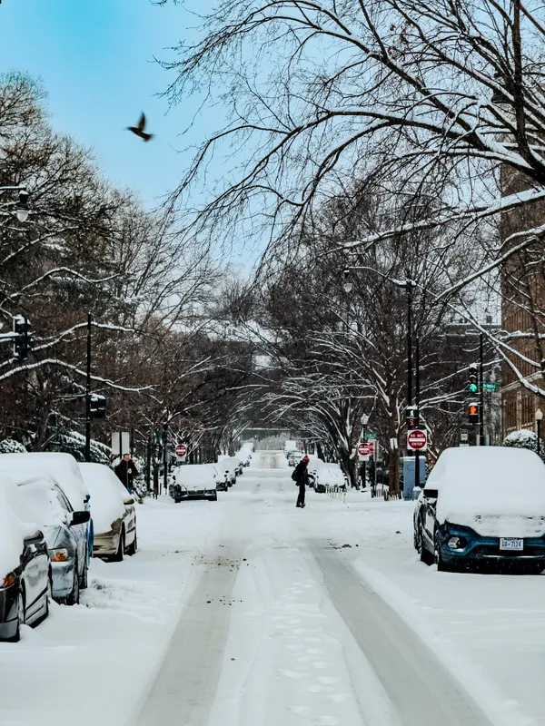
The setup driving Thursday’s forecast is a classic transition pattern: a slow-moving cold front with lingering moisture. With precipitation occurring as colder air filters in, the atmosphere can support a brief rain-to-snow mix even if ground temperatures remain relatively mild. In that scenario, any snow that occurs in the immediate Washington metro is most likely to be light and short-lived, with limited or no accumulation.
- Timing: showers are expected mainly Thursday, with colder air arriving as the day progresses.
- Type: rain is most likely, but a brief mix with wet snow is possible in parts of the region.
- Impacts: the primary concerns are shifting temperatures, gusty winds after the front, and localized reductions in visibility during heavier showers.
Severe weather risk preceded the cooldown
The front arrives after a period of active weather that included the potential for strong thunderstorms Wednesday. That combination—unseasonable warmth, increasing humidity, then a strong frontal boundary—can produce a fast-moving sequence of hazards: thunderstorms first, followed by rapidly falling temperatures and blustery conditions.
Warm air ahead of a strong cold front can support thunderstorms; colder air arriving later can change precipitation type even within the same 24-hour period.
What to watch for across the wider region
While the probability of meaningful snow in the District is limited in this setup, elevation and distance from the urban core can matter. Colder air often arrives sooner and holds longer in higher terrain and farther north and west, which can increase the odds of mixed precipitation there. Residents and commuters should monitor updated forecasts through Thursday for changing timing of the temperature drop and the location of any brief rain-to-snow transition.
Beyond Thursday, the pattern favors more seasonable conditions returning, with noticeably cooler air and gusty winds expected to define the end of the week.