Washington region faces prolonged deep freeze into next week, with highs in teens and 20s
A week of persistent subfreezing temperatures follows a disruptive snow-and-ice storm
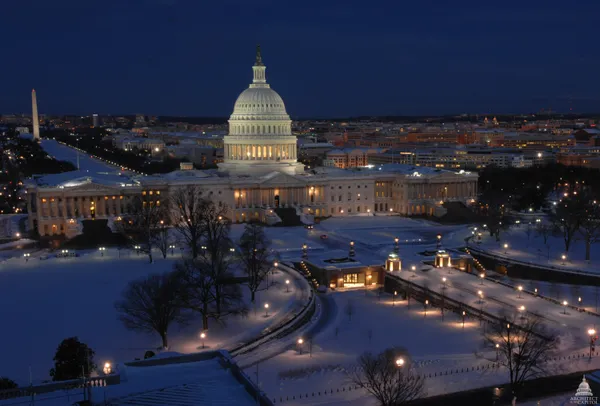
The Washington, D.C., region is entering an extended stretch of unusually cold weather expected to last into next week, with daytime highs largely confined to the teens and 20s and overnight lows dropping into the single digits in some locations. The cold spell arrives immediately after a major winter storm brought a mix of snow, sleet and freezing rain across the District, Maryland and Northern Virginia, compounding transportation and public-safety concerns as accumulated precipitation refreezes.
Forecast guidance for the metropolitan area indicates that even when skies turn sunnier, brisk northwest winds will keep wind chills well below the air temperature. That combination raises the risk of black ice, particularly on untreated side streets, sidewalks, steps and parking lots—conditions that can persist for days when temperatures remain below freezing.
Storm impacts linger as cleanup begins
The winter storm that moved through the region over the weekend contributed to hazardous travel conditions and widespread disruptions, including altered transit service and significant flight impacts at area airports. With temperatures expected to stay below freezing for much of the week, melting will be limited, and repeated overnight refreezing can maintain slick conditions even after roads are plowed and treated.
Heavier forms of winter precipitation, including sleet and ice, can increase the physical strain of snow removal. Local officials and public health agencies typically advise frequent breaks, proper lifting technique and monitoring for signs of overexertion during shoveling—guidance that becomes more important when temperatures and wind chills fall to dangerous levels.
What the pattern means: teens and 20s by day, single digits by night
Meteorologists attribute the prolonged chill to an Arctic air mass settling over the Mid-Atlantic after the storm system departed. With cold air entrenched, the region could see intermittent flurries or light snow at times, though the primary hazard is expected to be cold, wind and refreezing rather than heavy new accumulation.
In this pattern, even small amounts of additional precipitation—such as brief snow showers—can create outsized impacts, because surfaces remain cold enough for quick accumulation and persistent icing.
Operational and safety considerations for residents
- Plan for longer commutes: icy patches can persist through midday, especially on shaded roads and bridges.
- Reduce slip risk: use footwear with traction and treat walkways; reapply de-icer as refreezing occurs overnight.
- Protect plumbing: maintain indoor heat and allow warm air to circulate around pipes on exterior walls.
- Check on vulnerable neighbors: older adults and people without reliable heat face increased cold-related risks.
With temperatures remaining below freezing for days, the main hazards shift from falling precipitation to refreezing, wind chill and prolonged exposure.
Forecasters expect gradual moderation only after the cold air mass begins to loosen its hold, a process that may not occur until next week. Until then, the region’s defining story is a deep freeze that limits thawing, prolongs icy conditions and keeps winter hazards elevated even after the storm has passed.