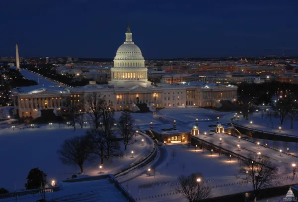
Washington faces sharp post-MLK Day chill as arctic air arrives; light weekend snow possible
Cold air settles in after the holiday, with a brief midweek rebound
Washington is entering a colder stretch immediately following Martin Luther King Jr. Day, as a surge of arctic air pushes temperatures well below seasonal norms and increases the risk of hazardous wind chills. After a relatively moderate holiday afternoon, the region is expected to see a rapid drop overnight, with morning lows settling into the teens and daytime highs struggling to rise much above freezing on Tuesday.
Forecasters expect the cold to be most pronounced on Tuesday, when abundant sunshine may do little to offset the chill. Winds are likely to remain a factor early in the period, making outdoor conditions feel colder than thermometer readings, particularly during the late-night and early-morning hours.
Midweek moderation, then another plunge by late week
Temperatures are projected to recover modestly by midweek. Wednesday is expected to be less severe, with highs returning to around the low 40s. Thursday appears positioned to be the warmest day of the week, with highs near the upper 40s to around 50, before colder air returns.
By Friday, another sharp cool-down is anticipated, setting the stage for a very cold weekend. Nighttime lows could dip into the low teens, conditions that can elevate concerns for exposed plumbing and prolong dangerous cold exposure for people without reliable heating.
Snow chances increase heading into the weekend, but confidence remains limited
As the cold intensifies again late week, the region is also monitoring the potential for light snow during the weekend. Forecast guidance points to the possibility of snow developing Saturday and continuing in some form into Sunday, though amounts and timing remain uncertain and may change as the storm track becomes clearer.
Current projections suggest any snow would be on the lighter side, but the combination of subfreezing temperatures and even modest precipitation could create slick roads, especially during overnight and early-morning periods.
What residents should watch for
- Wind chills in the single digits to teens during the coldest periods, particularly overnight and early Tuesday.
- A brief warm-up Wednesday and Thursday, followed by a renewed drop late week.
- A potential window for light snow Saturday into Sunday, with details dependent on storm evolution.
With temperatures expected to remain below freezing for extended periods late week and into the weekend, travel impacts would depend less on snowfall totals and more on timing, road temperatures, and refreezing potential.
Residents are encouraged to plan for colder-than-usual conditions through the week, including limiting prolonged outdoor exposure, checking on vulnerable neighbors, and preparing for changing weekend forecasts that could affect travel and commuting.