Washington, D.C. Forecast: Monday Turns Milder With Highs Near 70s and Intermittent Rain Chances
A warmer start to the workweek follows cooler, unsettled early-spring conditions
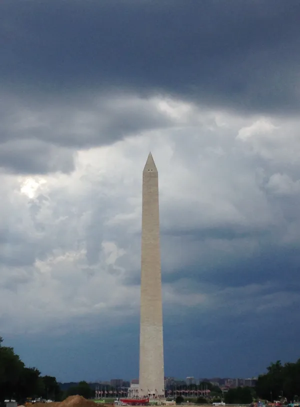
Washington, D.C., is expected to see a noticeably milder pattern on Monday, with afternoon temperatures projected to reach the 70s and at least a low-end chance for rain or passing showers at times. The shift marks a return to more springlike warmth after recent swings in temperatures that have periodically brought cooler air into the Mid-Atlantic.
Forecast guidance for the District indicates clouds will be a recurring feature through the day, with the best opportunity for precipitation generally tied to scattered showers rather than a continuous, all-day rainfall. While rainfall amounts can vary sharply in scattered-shower setups, commuters should be prepared for brief wet road conditions and reduced visibility during any heavier bursts.
What to expect Monday: temperatures, timing, and travel impacts
High temperatures are forecast to land in the low-to-mid 70s across much of the metro area, with neighborhoods near the Potomac and Chesapeake-influenced corridors sometimes running slightly cooler than more inland locations. Morning conditions may begin with lingering cloud cover and spotty precipitation potential, with additional pop-up showers possible later in the day.
- Temperatures: milder afternoon highs in the 70s, with cooler readings early and late in the day.
- Rain chances: intermittent, primarily in the form of scattered showers; some locations may remain dry.
- Commuting: brief downpours can create slick pavement and slower travel, especially during peak drive times.
For residents, the most practical takeaway is a day that feels warmer overall, but still variable—clouds and passing showers may interrupt otherwise usable outdoor windows.
Why the forecast can vary neighborhood to neighborhood
Early-spring rain chances in the region frequently depend on subtle changes in the track and timing of weather systems, as well as the strength of any front moving through. That can produce a familiar local pattern: one part of the District sees a quick shower while another remains dry under the same cloud deck. Temperatures can also vary with cloud thickness and wind direction, with steadier clouds limiting heating and brighter breaks allowing readings to climb faster.
Looking beyond Monday
The warmer air accompanying Monday’s forecast can set the stage for additional day-to-day variability later in the week, including further swings in rain chances as the next system approaches. Residents planning outdoor activities should monitor updated hourly forecasts and radar trends, particularly if schedules depend on a dry commute window or evening plans.