Updated Forecast Shows Only Limited Chance of Snow in Washington, D.C. This Weekend
Cold remains the dominant story as forecasters watch a possible coastal system
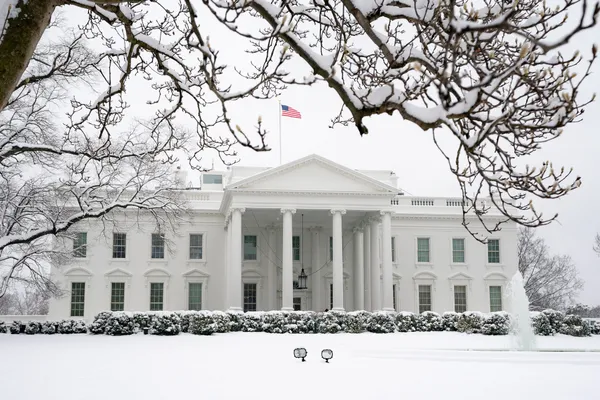
Washington, D.C. is expected to stay in a prolonged stretch of well-below-freezing temperatures through the end of the workweek, with a low-probability chance of weekend snow entering the forecast.
As of Tuesday afternoon, January 27, the official point forecast for Washington shows highs mainly in the low 20s through Friday, January 30, with overnight lows in the single digits to around 10 degrees. A Cold Weather Advisory is posted for Tuesday night into Wednesday morning, reflecting the continued risk of dangerously low wind chills and exposure concerns.
What the forecast currently shows for Saturday and Saturday night
The first mention of weekend precipitation in the Washington forecast appears on Saturday, January 31. The forecast calls for a “chance of snow” during the day and again Saturday night, indicating the potential for light snowfall but not a high-confidence event at this time.
- Saturday: Partly sunny turning to a chance of snow, with a high near 19°F.
- Saturday night: A continued chance of snow, with a low near 13°F.
With temperatures forecast to remain below freezing, any snow that does fall could accumulate on untreated surfaces and refreeze quickly, particularly at night and in shaded areas.
How this compares with the region’s recent winter impacts
The region is still contending with the aftermath of a recent storm and an extended period of intense cold. Cold conditions can slow melting, harden snowbanks, and allow residual slush to refreeze into icy patches—factors that can prolong hazardous travel and complicate cleanup even without additional snowfall.
Why the weekend outlook can change quickly
Weekend snow potential in the Mid-Atlantic often depends on the storm track and how far north moisture reaches. Small shifts in the path of a coastal low can mean the difference between a dry forecast, light snow, or a more impactful event. Forecasters will be watching updated model guidance as the weekend approaches, with the highest confidence typically arriving within 24 to 48 hours of any system’s arrival.
For now, the forecast supports a cold weekend with only a limited chance of snow in the District, rather than a high-confidence snowstorm.
Residents planning weekend travel should monitor updated local forecasts later this week, especially if driving early Saturday or Saturday night when temperatures are expected to remain in the teens.