Tornado Watch issued across parts of Virginia and Maryland as cold front triggers evening storm risk
Watch covers portions of the Washington region through Wednesday evening
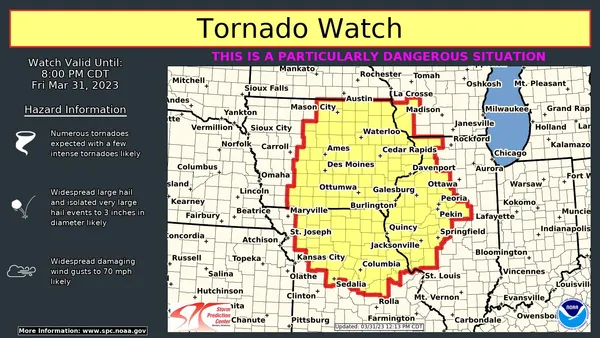
A Tornado Watch was issued Wednesday for parts of Virginia and Maryland as a line of late-day thunderstorms developed along a strong cold front crossing the Mid-Atlantic. The watch was set to run until 8 p.m. EDT, a period when fast-moving storms can produce rotating cells capable of brief tornadoes, along with damaging wind gusts, hail, and frequent lightning.
The watch area included Loudoun County in Virginia and multiple jurisdictions in Maryland, including Frederick, Montgomery, Carroll, Howard, Harford, and Baltimore County, as well as Baltimore City. The issuance came after a relatively quiet first half of the day in the immediate Washington area, followed by increasing instability and lift as the front approached.
Warnings began as storms moved into northern Maryland
As thunderstorms strengthened Wednesday evening, a tornado warning was issued for parts of northern Maryland, including central Carroll County and northeastern Frederick County, with the warning time extending into the early evening. Officials indicated a severe thunderstorm with the potential to produce a tornado was tracking near several communities in the warned area during the warning window.
In addition to the tornado-related alerts, severe thunderstorm warnings were posted for multiple locations as storms crossed the region, reflecting the broader risk of straight-line wind damage and intense rainfall typical of cold-front-driven convection.
What a Tornado Watch means for residents
A Tornado Watch signals that atmospheric conditions are favorable for tornadoes and severe thunderstorms. It differs from a tornado warning, which is issued when a tornado is occurring or imminent. During a watch, public safety guidance emphasizes staying alert for updated warnings, monitoring changing conditions, and having a shelter plan ready.
Be prepared to move quickly to an interior room on the lowest floor of a sturdy building if a warning is issued.
Keep multiple ways to receive alerts, particularly in the evening when storms may arrive during commuting or after-school hours.
Expect the primary hazards to include damaging wind gusts, lightning, and localized flooding from heavy downpours.
Rapid temperature drop expected after frontal passage
Behind the cold front, temperatures were forecast to fall sharply into Thursday, with markedly cooler air moving into the region and additional showers possible after the main thunderstorm window. The transition from near-record warmth to a cooler, unsettled pattern is characteristic of early spring systems that can also generate pockets of severe weather.
Residents in the watch area were advised to remain weather-aware through the evening as storm intensity and coverage could vary significantly from neighborhood to neighborhood.
The watch was one part of a larger severe-weather episode affecting a broad swath of the eastern United States, underscoring how quickly the risk can shift into the Washington region during strong frontal passages.