Sunlit Thaw: D.C. Finally Breaks Freezing Streak After Bitter Morning Start
The Deep Freeze Begins to Crack
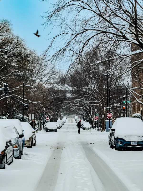
Washingtonians are facing a morning of biting cold as the District grapples with a persistent arctic blast. While the sun is shining brightly over the National Mall today, Monday, February 2, 2026, the mercury tells a different story. A Cold Weather Advisory remained in effect through the early morning hours, with wind chill values plummeting to between 5 degrees above and 5 degrees below zero. Because of these dangerous conditions, city officials have maintained an Extreme Cold Alert, and DC Public Schools are operating on a two-hour delay this morning to ensure students are not exposed to the sub-zero start for long periods.
Morning Outlook: Clear Skies, Sharp Sting
The morning commute is defined by clear skies and sharp, northwesterly winds. While the actual air temperature sits in the mid-teens, lingering gusts of up to 30 mph are expected to persist through the early hours. Residents are urged to bundle up and cover all exposed skin, as frostbite can occur quickly in these conditions. Despite the chill, the morning features abundant sunshine, providing a welcome visual break from the recent gray and frigid skies.
Afternoon: Breaking the Freezing Mark
There is significant news for those tracking the local "freeze streak." For the first time in ten days, temperatures in Washington, D.C., are forecast to climb above the 32-degree mark. Afternoon highs are projected to reach between 30 and 35 degrees under mostly sunny skies. While this is only a marginal thaw, it marks a notable turning point in the recent weather pattern. Local predictions include:
- High Temperature: 35°F
- Wind: Northwest at 10-15 mph
- Conditions: Mostly sunny and breezy
This brief window above freezing offers a prime opportunity for residents to clear any remaining ice or snow from sidewalks. However, officials warn that any melting that occurs today is likely to refreeze quickly once the sun goes down, leading to potentially slick spots on secondary roads and walkways tonight.
Evening and Overnight Transitions
As we move into the evening hours, the clear skies will begin to fade. Cloud cover is expected to increase significantly after sunset as a new weather system approaches. Evening temperatures will hover in the mid-20s, eventually dropping to an overnight low between 10 and 20 degrees. While the chance of precipitation tonight remains minimal—sitting at approximately 10%—the increase in humidity and cloud cover signals a shift toward a more unsettled Tuesday. For tonight, expect cold but dry conditions for those heading out for evening activities.
Safety Reminders
While today offers a slight reprieve, the District is not out of the woods yet. Forecasters are already monitoring a potential light snow event for Tuesday night. For now, the focus remains on staying warm. If you see someone in need of shelter during this Extreme Cold Alert, the city encourages calling the Shelter Hotline or dialing 311 to request free, accessible transportation to a warming center.