Sunbeams and Slush: D.C. Embraces a Milder Tuesday Thaw
A Much-Needed Break from the Arctic Blast
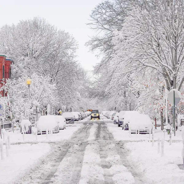
Washingtonians can finally breathe a sigh of relief this Tuesday, February 10, 2026. After a weekend dominated by the bone-chilling grip of Winter Storm Fern and a series of extreme cold alerts that saw wind chills plummeting well below zero, the District is finally turning a corner. Today marks the start of a welcome warming trend, with temperatures expected to climb significantly higher than the freezing mark, providing the first real opportunity for the city's heavy ice and snow accumulations to begin their retreat.
Morning: From Frosty to Functional
The day began on a crisp note, with early commuters facing temperatures in the upper teens and low 20s. However, unlike the stagnant freeze of the past few days, the mercury is rising steadily under a blend of sunshine and clouds. By 10:00 AM, temperatures across the city reached approximately 31°F, and we are expected to cross the freezing threshold before noon. The morning sky is offering a much-needed psychological boost to residents who have been largely hunkered down indoors since the storm hit.
Afternoon: Peak Temperatures and the 'Great Melt'
The afternoon will be the highlight of the week so far. Local meteorologists predict high temperatures reaching between 45°F and 49°F, with some neighborhoods to the southwest of the city potentially touching the 50-degree mark. Winds will remain light and manageable, shifting to the south at 5 to 10 mph. This gentle southern flow is the primary driver of today's milder conditions. The combination of direct sunshine and temperatures well above freezing will lead to widespread melting of snow and ice on sidewalks and secondary roads throughout the afternoon.
Evening Forecast and Overnight Outlook
As the sun sets around 5:40 PM, the air will retain some of its daytime warmth longer than in recent nights. Temperatures will descend slowly into the mid-30s during the evening hours. Overnight, we expect a low of approximately 34°F under partly cloudy skies. While this is significantly warmer than the bitter lows of the past weekend, it remains close enough to the freezing mark that any standing melt-water could create patches of "black ice" in shaded areas or on elevated surfaces. Pedestrians and drivers should remain cautious during the late-night hours.
Safety Reminders for District Residents
- Sidewalk Maintenance: District officials remind residents and business owners that they are required to clear snow and ice from sidewalks within the first eight hours of daylight following a snow event. Today’s thaw makes this task significantly easier for those still dealing with lingering patches.
- Watch for Refreezing: While the afternoon will be wet and slushy, be mindful of the potential for slippery spots to re-form as temperatures dip tonight.
- Flood Prevention: Ensure that storm drains near your property are clear of debris and ice to allow the melting snow to flow freely and prevent localized street ponding.