Spring-Like Warmth Challenges the Morning Gloom in the District
Morning: A Foggy and Dreary Start to Sunday
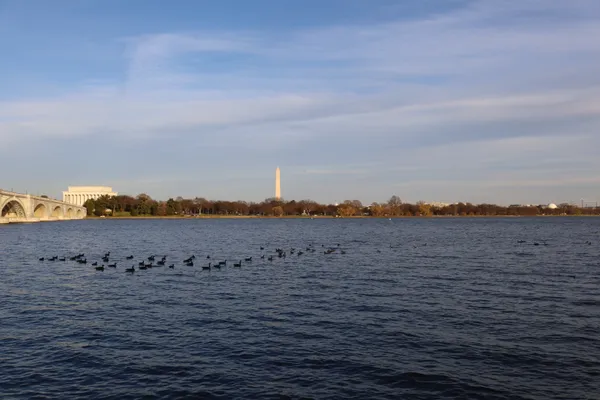
The nation's capital wakes up to a thick layer of clouds and a touch of late-winter gloom this Sunday, March 8, 2026. Early morning temperatures are hovering in the low 50s, accompanied by high humidity levels reaching nearly 97%. Commuters and early risers should be cautious of patchy fog and mist that may reduce visibility across the District during the first few hours of the day. A 61% chance of precipitation means passing showers are likely throughout the morning, though total rainfall is expected to be minimal, measuring around 0.2 inches. As this is the first day of daylight saving time, the early morning hours may feel particularly dark and dreary for those heading out early.
Afternoon: Milder Temperatures and the Promise of Spring
As the morning front passes, Washingtonians can expect a significant shift in weather conditions. By mid-afternoon, the mercury is set to climb to a pleasant high of 73°F, which is notably above the historical average for early March. While the sky will remain largely overcast or partly cloudy, the air will feel considerably milder compared to the previous week's chill. It is an ideal afternoon for a stroll through the National Mall or a visit to the wharf, though the lingering clouds will keep the sun from being a constant presence. Humidity will begin to drop toward 53% as the afternoon progresses, making the warmth feel dry and comfortable.
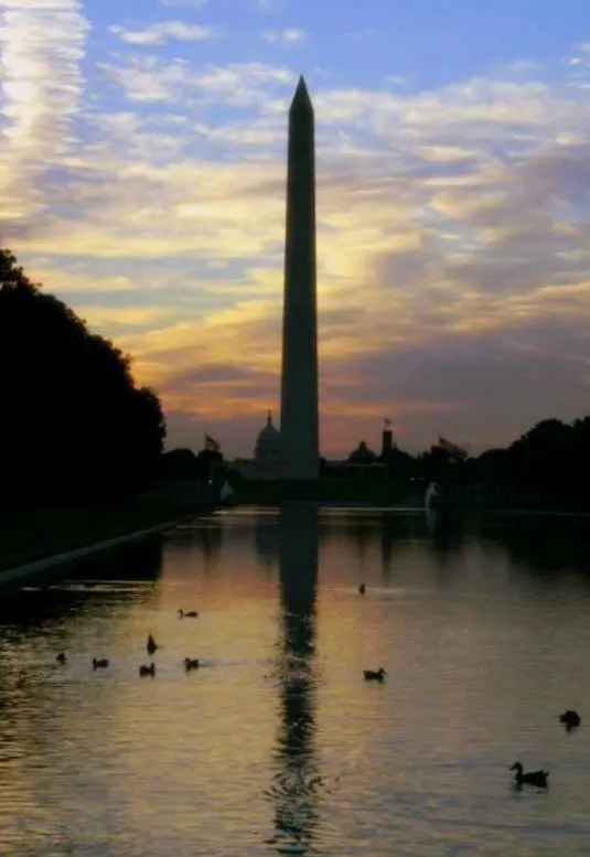
Evening: Clearing Skies and Cooler Breezes
The evening hours will bring a gradual clearing of the cloud cover. Temperatures will begin to retreat from their afternoon peak, settling into the mid-50s as the sun sets. The humidity will continue to fall throughout the night, leading to a crisp and refreshed atmosphere. By late tonight, the sky is expected to be mostly clear, providing a sharp contrast to the morning's dampness. Overnight lows are predicted to settle between 45°F and 56°F, suggesting that residents should keep a heavier coat handy for any late-night plans.
Wind and Precipitation Outlook
While no severe weather alerts are currently in effect, residents should be prepared for gusty conditions early in the day. Winds are expected to reach gusts of up to 30 mph until the late morning cold front fully clears the region. Once the front has passed, wind speeds will stabilize to a more manageable 8 mph coming from the northwest. While the chance of rain remains highest before noon, the risk of thunder is low. Looking ahead, this trend of milder weather is expected to continue into early next week, with even warmer temperatures on the horizon.
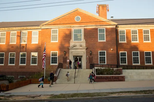
D.C. Public Charter School Board Convenes for Key March Session Today
Puck Drop and Postseason Fever: High-Stakes Sports Take Over D.C. Today

Spring Fever Hits Early: Your Washington D.C. Monday Briefing