Snowfall Totals Across the Washington Region Show Sharp Differences From Maryland to West Virginia Overnight
Storm measurements show localized bands and a west-to-east gradient in accumulation
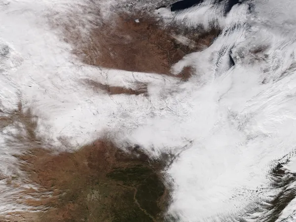
Snowfall totals reported across the Washington region late Sunday into early Monday reflected a highly uneven winter-weather event, with accumulations ranging from trace amounts in some locations to several inches in higher-elevation areas and spots that remained under persistent snow bands. The reports cover portions of Washington, D.C., Maryland, Virginia and West Virginia as the system pushed through the Mid-Atlantic on February 22–23.
Across the core Washington metro area, early totals generally clustered in the low single digits, with several communities reporting around 2 to 4 inches by late evening. Farther west and northwest—where colder air and elevation favored snow—higher totals were more common. Meanwhile, some southern and coastal locations closer to the rain-snow transition line reported lighter amounts.
Maryland: from trace reports in the far west to several inches in parts of Frederick and Washington counties
In Maryland, early reports showed minimal accumulation in some western locations, including trace amounts in parts of Allegany County. Elsewhere, totals rose with terrain and storm positioning. Frederick County reports included 1.5 inches in Smithsburg and 1.5 inches in Sabillasville in one set of measurements, while separate compiled reports listed Sabillasville at 6.0 inches by 8 p.m. Sunday. In Washington County, Boonsboro was listed at 4.1 inches, with other reports including 2.0 inches in Funkstown and 1.5 inches in Pleasant Walk.
In the Washington suburbs, reports included 1.3 inches in Gaithersburg and 1.0 inch in Potomac, with lighter amounts noted in other nearby communities. Southern Maryland reports included 2.3 inches in Clements in St. Mary’s County. In Calvert County, North Beach was listed at 0.6 inches, while Prince Frederick was listed at 1.0 inch in another compiled set.
Virginia and D.C.: early totals in the low single digits, with pockets of higher accumulation west of I-95
In Northern Virginia, early totals included 2.1 inches in Loudoun County and 1.2 inches in Fairfax County, with additional spot reports such as 3.5 inches in Woodbridge and around 2 to 3 inches in parts of Fairfax and surrounding communities during the evening. These figures align with a storm pattern in which heavier snowfall favored areas west of the Interstate 95 corridor, while totals dropped off farther east and south.
Why totals varied: elevation, storm track, and the rain-to-snow transition
The distribution of totals points to three drivers: elevation (supporting higher totals in the Appalachians and nearby ridges), mesoscale banding (narrow corridors of heavier snow that can sharply raise local totals), and the timing of the transition from rain to snow near the urban corridor and coastal plain. That combination can produce neighborhood-to-neighborhood differences even within the same county.
- Lowest reported totals: trace to under 1 inch in parts of western Maryland and some near-coastal locations.
- Common suburban totals: roughly 1 to 4 inches in parts of the Washington metro area during the evening reporting window.
- Higher-end reports: 4 to 6 inches in selected northwest Maryland communities where snow persisted longer or fell more intensely.
Note: Snow totals are compiled from multiple observation types and reporting times; totals can change as late reports arrive and as snow continues or tapers off.