Snow and Sleet Accumulations Build Across Washington as Winter Storm Forces Closures and Travel Disruptions
Snow totals rise as precipitation changes over
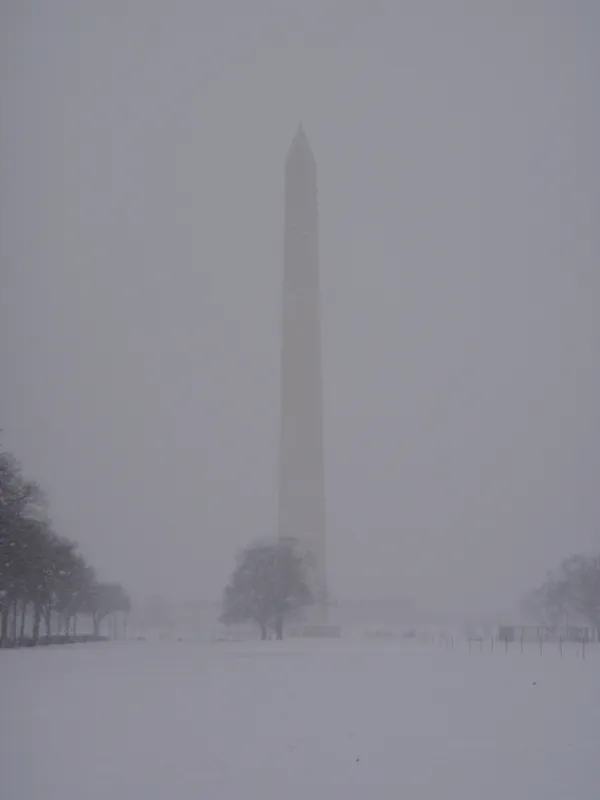
Washington’s latest winter storm delivered a fast start of accumulating snow on Sunday, January 25, 2026, before a gradual changeover to sleet advanced north through the region. By mid-morning, much of the Washington-area snowfall had largely ended as sleet became the dominant precipitation type south of a line running roughly from Baltimore to Frederick, with the transition edging into the District’s northern suburbs.
Early measurements indicated that the most common snow totals before the changeover were in the 4-to-5-inch range across the broader metro area. Higher accumulations were reported north and northeast of the District, where some locations reached 5 to 7 inches before sleet took over. At the region’s major airports, measured snowfall through 7 a.m. showed 3.4 inches at Ronald Reagan Washington National, 4.2 inches at Washington Dulles International, and 4.1 inches at Baltimore/Washington International Thurgood Marshall.
What has fallen inside the District so far
Within the District, snow on the ground increased steadily during the pre-dawn and early morning hours, with totals generally clustering around several inches before compaction began as sleet mixed in. The storm’s structure produced notable differences over short distances, with totals typically higher in northern and northeastern portions of the metro and lower toward areas that changed to sleet earlier.
- Most common early storm totals in the metro: about 4 to 5 inches of snow before sleet
- Higher pocket north and northeast of the District: about 5 to 7 inches before sleet
- Measured airport totals through 7 a.m.: 3.4 inches (DCA), 4.2 inches (IAD), 4.1 inches (BWI)
Compounding impacts: sleet accumulation, ice risk, and transportation
After the initial snow, forecasters expected an extended period of sleet to continue into the afternoon, with 1 to 3 inches of sleet possible on top of the snowpack in and around the Beltway. That additional accumulation is significant not only for traction and braking distance, but also because sleet can compact and densify snow, making shoveling more difficult and increasing the likelihood that roads remain slick even after precipitation rates ease.
By late afternoon into evening, conditions were expected to evolve again, with freezing rain becoming increasingly likely—especially near and east of Interstate 95—raising the risk of ice-coated roadways and potential power outages.
With temperatures staying below freezing, untreated roads and sidewalks are expected to remain hazardous into Monday, even after precipitation tapers.
Service interruptions broaden beyond roads
The storm’s footprint extended well beyond local streets. Air travel disruptions intensified across major hubs in the eastern United States, and in Washington, Reagan National canceled scheduled departures for the day as winter weather affected runway operations and regional flight networks.
With a prolonged cold pattern expected to follow, transportation agencies and residents across the District and surrounding jurisdictions prepared for continued impacts from compacted snow, sleet layers, and freezing conditions that can slow cleanup and prolong hazardous travel.