Icy Glaze and Steady Rains: Washingtonians Advised to Tread Carefully This Tuesday
Morning: A Slick Start with Freezing Transitions
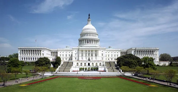
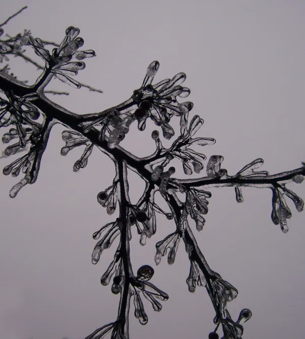
Washingtonians waking up this Tuesday, March 3, 2026, are met with a challenging commute as the District transitions from yesterday's late-winter snowfall into a messy, wet morning. Local meteorologists are tracking a significant period of freezing rain and sleet, particularly concentrated in areas north and west of the city center. With morning temperatures hovering just below freezing—around 32°F to 33°F—a thin glaze of ice has developed on sidewalks and secondary roads, making foot traffic and driving hazardous during the early rush hour.
The transition to plain rain is expected to occur fairly quickly, with most of the freezing precipitation shifting to liquid by 9:00 AM or 10:00 AM as temperatures begin their slow climb. However, residents are urged to remain cautious on bridges and overpasses where icy patches may linger longer than on the main thoroughfares.
Afternoon: Chilly Drizzle and Overcast Skies
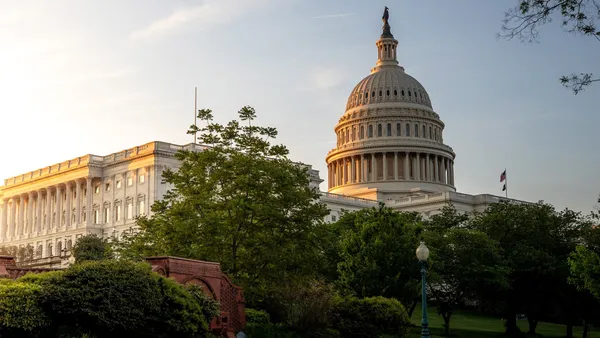
As we move into the afternoon, the freezing threat will subside, replaced by a persistent and chilly light rain. High temperatures for the day are forecast to reach approximately 46°F, which remains slightly below the historical average for early March but provides enough warmth to melt any remaining morning ice. The humidity will remain extremely high, near 97%, adding a damp, raw feeling to the air despite the rising mercury.
- High Temperature: 46°F
- Wind: Light easterly winds at 3 to 5 mph.
- Rain Chance: 59% during the peak afternoon hours.
There is a glimmer of hope for a brief dry spell; a short break in the precipitation is anticipated around 5:00 PM, offering a small window for those looking to squeeze in outdoor errands or a quick walk before the next round of weather arrives.
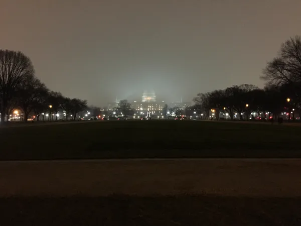
Evening and Overnight: More Rain on the Horizon
The evening forecast suggests that umbrellas will remain a necessity. After the brief late-afternoon lull, another round of steady rain is expected to move into the D.C. metro area after 7:00 PM. Interestingly, temperatures will not drop significantly overnight; instead, they are expected to hold steady or even rise slightly, with an overnight low of 44°F—considerably warmer than the icy start we experienced this morning.
Looking ahead, this rainy Tuesday serves as the gateway to a much warmer trend. While today’s damp conditions might feel gloomy, the influx of southern air is expected to push temperatures into the 60s by Wednesday and potentially the 70s by the end of the work week. For tonight, however, the focus remains on navigating the wet roads and the high humidity that will keep the District under a blanket of fog and drizzle well into the early hours of Wednesday morning.
Sunlight and Accountability: Your D.C. Morning Briefing for March 5
Foggy Mornings and Midnight Puddles: D.C.’s Rollercoaster Thursday Forecast
Fog and damp roads slow Thursday morning commutes in Washington as visibility drops across the region