How residents can track snow plows across Washington, DC, suburban Maryland, and Northern Virginia during storms
Real-time maps now show where winter crews have treated and plowed
When snow or ice moves into the Washington region, transportation agencies increasingly publish live or near real-time mapping tools that let residents see where public crews have worked and where conditions may still be deteriorating. These tools are designed to support travel decisions, but they come with important limitations: not every road is covered, and a “track” on the map can mean different things depending on the jurisdiction.
Washington, DC: PlowTracker and the DC Snowplow Tracker map
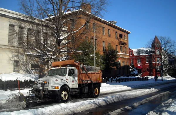
In the District, the snow operations map commonly referred to as PlowTracker displays where plows and treatment vehicles have traveled during an active winter event, including vehicles used for pre-treatment and plowing. The tracker is intended to show progress citywide, rather than provide guarantees that a specific block is clear at any given moment.
Coverage is not universal. The District snow program excludes federally maintained roads and park roads, as well as private streets. Some complex roadway segments—such as certain ramps and service roads—may not appear because they cannot be represented cleanly on the public map. In addition, District operations generally do not plow streets when snowfall totals are below a specified accumulation threshold.
- What the map can show: where vehicles have traveled for pre-treatment and plowing during an event.
- What it may not show: federal parkways and facilities, private streets, and some smaller roadway segments.
Practical takeaway: if a road is outside District maintenance responsibility, it may not appear on the District tracker even if it is nearby.
Maryland: STORM winter operations tracking and 511/CHART resources
Maryland’s State Highway Administration provides a winter-operations vehicle tracking layer through its STORM web application, a mobile-friendly map that can display state-operated and contractor equipment during winter events. The tool is built for state-maintained roads and is intended to show activity such as pre-treatment runs and plowing routes. Maryland also maintains a broader travel-information system that includes live traffic cameras, incidents, and severe-weather messaging alongside winter operations details.
- Best use: check whether state crews have recently passed through a corridor you rely on (interstates and major state routes).
- Common limitation: local and privately maintained roads may fall outside state tracking and maintenance responsibility.
Virginia: VDOT’s snowplow map for deployed trucks
Virginia’s transportation agency publishes an online snowplow map that can display truck locations when winter operations are underway and equipment is deployed. The mapping interface is designed to help users search by address and view nearby activity, with options to turn on additional layers such as traffic cameras. Like other systems, it depends on vehicle location technology and wireless connectivity, so gaps can occur, particularly where coverage is inconsistent.
What these trackers do—and do not—confirm
Across the region, these maps are best read as operational visibility tools: they can indicate that a vehicle has recently traveled a route, but they do not confirm curb-to-curb clearance, address refreezing, or replace on-the-ground safety judgment. For residents, the most reliable approach is to pair plow tracking with live camera views, reported incidents, and local advisories before driving.