From Powder to Pellets: Heavy Snow and Sleet Cripple the District
The Great Transition: Morning Snow Becomes Afternoon Sleet
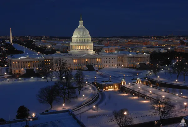
Washington D.C. is currently under the grip of a major winter storm this Sunday, January 25, 2026. Residents woke up to a blanket of moderate to heavy snow that has been accumulating since the early morning hours. As of mid-morning, the precipitation has begun transitioning from heavy flakes to a dangerous mix of sleet and freezing rain inside the Capital Beltway. This shift is expected to progress toward the northern suburbs by noon, making any outdoor activity or travel increasingly difficult and dangerous.
Today's Hourly Outlook
Morning: The day began with intense snow bands, with some areas experiencing snowfall rates of 1 to 2 inches per hour. Total snow accumulations between 3 to 5 inches were reported across Georgetown and Silver Spring before the transition to sleet took hold around 9:00 a.m. Temperatures throughout the morning have remained in the frigid mid-teens to near 20 degrees Fahrenheit, creating a bone-chilling environment for those attempting to shovel early.
Afternoon: Through the afternoon hours, the primary weather threat shifts from snow accumulation to icing. A thick layer of sleet is expected to pile up on top of the morning’s snowfall, creating a heavy and treacherous slush. In areas south and east of the city, there is a significant risk of freezing rain, which may create a dangerous glaze of ice on power lines and trees. High temperatures will struggle to reach the mid-to-upper 20s, offering no relief for melting.
Evening: The wintry mix will continue through the early evening before tapering off by approximately 10:00 p.m. Even as the active precipitation ends, travel will remain hazardous as wet surfaces refreeze into black ice. Overnight lows are projected to drop into the mid-teens to low 20s. Biting winds from the northwest will gust between 10 and 20 mph, sending wind chills into the single digits.
Warnings and Critical Notices
The National Weather Service has maintained a Winter Storm Warning for the entire metropolitan area. Local officials, including those at Howard University where campus services have been adjusted, are urging residents to avoid all non-essential travel. Key safety points for the remainder of the day include:
- Travel Advisory: Road conditions are officially described as treacherous. If travel is unavoidable, emergency management suggests carrying a winter kit containing blankets, a flashlight, and sand for traction.
- Power Outage Risk: The weight of sleet and potential freezing rain increases the risk of downed tree limbs and power interruptions, particularly in Southern Maryland and the southeastern portions of the District.
- Extreme Cold: A reinforcing shot of arctic air is expected tonight. Residents should ensure pets are brought indoors and check on neighbors who may be vulnerable to the plummeting temperatures.