D.C.-area school and federal office status for Monday reflects snow timing, road risk, telework options
Snow forecast drives Monday decisions across schools and the federal workforce
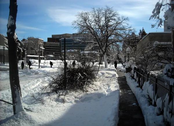
A late-winter storm moving through the Washington region is shaping whether schools and federal offices operate normally on Monday, February 23, 2026. Forecasters have called for several inches of wet snow to accumulate by morning, with impacts concentrated overnight Sunday into early Monday and the potential for lingering snow and strong wind gusts during the commute.
For many school systems, the central question is whether conditions allow buses and student drivers to travel safely at first bell. Wet snow that falls heavily overnight can be especially disruptive when it coincides with peak commuting hours, when road treatment and plowing may still be underway on neighborhood streets and secondary routes.
Federal operating status: delayed arrival with flexibility for employees
Federal agencies in the Washington, D.C., area are set to operate under a two-hour delayed arrival on Monday, paired with options that allow employees to use unscheduled leave or unscheduled telework. The approach is designed to reduce early-morning travel demand while keeping agencies open, particularly as snowfall is expected to be heaviest before sunrise.
Operating status decisions for federal offices typically consider the timing of precipitation, expected road conditions across a wide commuter shed, and the likelihood that conditions will improve as daylight and treatment operations progress.
School systems: closures and delays shaped by local conditions and transportation needs
Across the District, Maryland, and Virginia suburbs, school systems have been weighing closures versus delayed openings as forecasts sharpen and conditions evolve. Some jurisdictions moved from a delay to full closure as the expected impacts became clearer, reflecting the sensitivity of morning operations to road traction, visibility, and the condition of sidewalks and parking areas around schools.
School leaders typically factor in roadway conditions across an entire county or city system, not just near central corridors. That means areas expecting lighter totals may still face disruption if portions of a district are forecast to receive higher snowfall or experience more hazardous travel.
- Primary drivers of school decisions: bus route safety, secondary-road conditions, and the timing of the last bands of snow.
- Factors that can tilt toward closure: heavier-than-expected overnight accumulation and continued snowfall into the commute window.
- Factors that can tilt toward delay: most accumulation ending before dawn and improving conditions after treatment and plowing.
With much of the snow expected before the morning commute, the most consequential variable is whether roads refreeze or remain slushy and difficult to navigate at start time.
What residents should watch Monday morning
Families and commuters are likely to see a patchwork of decisions, reflecting differences in elevation, precipitation intensity, and how quickly roads can be cleared. Residents should monitor official announcements from their local school systems and agencies, and plan for slower travel where snow persists or wind reduces visibility.
Even where offices open on a delay, the region’s commute can be affected by staggered schedules, school closures, and localized slick spots—especially on untreated residential streets, bridges, and shaded areas.