Dangerously Cold and Blustery: D.C. Braces for the Season's Deepest Freeze
Arctic Blast Grips the District
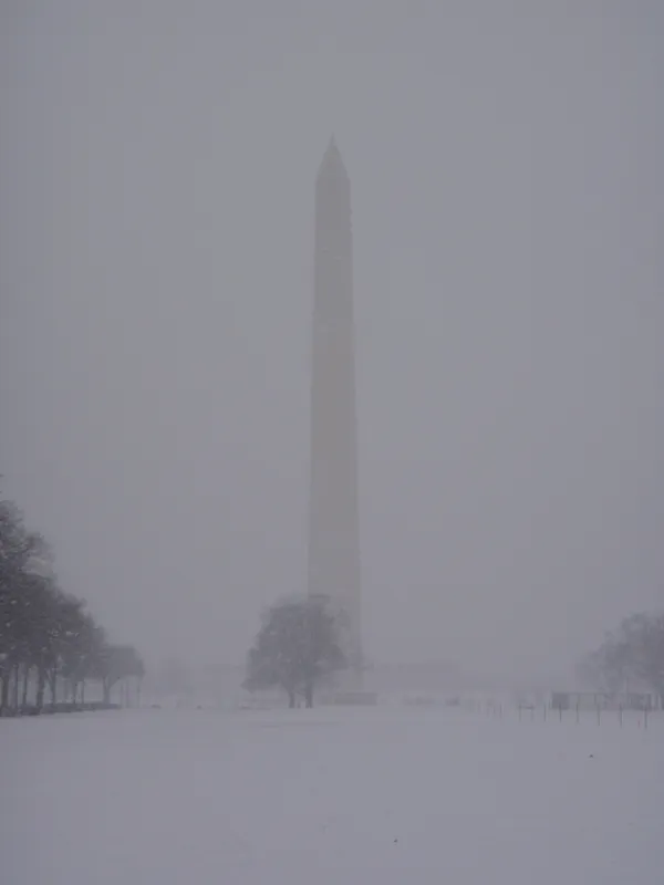
Today, Saturday, February 7, 2026, Washington D.C. is facing its most severe weather of the winter season so far. Residents should prepare for a dangerous combination of biting arctic air and powerful wind gusts as a significant weather front moves through the capital. This shift represents a major departure from the milder temperatures seen earlier in the week, bringing life-threatening conditions for those unprepared for the extreme cold.
Critical Warnings and Advisories
The National Weather Service has issued both a High Wind Warning and an Extreme Cold Warning for the District. The High Wind Warning is in effect until 7:00 PM tonight, with gusts expected to range between 50 and 60 mph. Simultaneously, the Extreme Cold Warning remains active through tonight and until 10:00 AM Sunday, highlighting the hazardous nature of the incoming temperature drop and sub-zero wind chills. These conditions are expected to trigger isolated power outages and create significant travel delays.
Morning: A Sharp Temperature Slide
The day began with a technical high of approximately 31°F at midnight, but temperatures have been in a freefall ever since. Early morning commuters can expect readings to plummet into the mid-teens and low 20s by sunrise. Any lingering flurries or light snow showers from the passing overnight front are expected to taper off by noontime, giving way to partly sunny skies. However, the sunshine will be deceptive, as it will provide little relief from the plummeting mercury. Wind chills in the early morning are predicted to sit in a bone-chilling minus-5 to minus-10 zone.
Afternoon: Peak Gusts and Brutal Wind Chills
The most intense and dangerous conditions will occur between 10:00 AM and 4:00 PM today. During this window, northwest winds are forecast to rage at sustained speeds of 25 to 35 mph, with occasional damaging gusts reaching 55 to 60 mph. These winds are strong enough to bring down tree limbs and unsecured objects. Even with clear skies, the wind chill—what it actually feels like on exposed skin—will struggle to rise above zero throughout the entire afternoon, likely hovering just a few degrees away from the zero-degree mark at its warmest point.
Evening and Overnight: The Deep Freeze
As the sun sets, the winds will begin a slow weakening trend, though gusts of up to 40 mph may still persist into the late evening. Temperatures are forecast to bottom out in the single digits tonight, with most areas in the D.C. metro region seeing lows between 5°F and 10°F. Combined with the continued breeze, wind chills will remain well below zero through the night and into Sunday morning.
Winter Safety Recommendations
- Stay indoors whenever possible, especially during peak wind periods in the afternoon.
- If you must go outside, dress in multiple layers of warm clothing and ensure all skin is covered to prevent frostbite.
- Secure outdoor furniture, trash cans, and other loose items that could be tossed by high winds.
- Bring all pets indoors and check on neighbors, particularly the elderly, to ensure they have adequate heating.