Brace for the Bite: Frigid Winds and Single-Digit Chills Grip the District
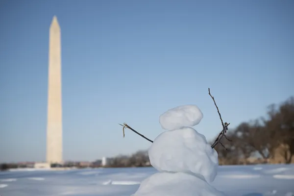
Washington D.C. wakes up to a bone-chilling start this Sunday, February 1, 2026. As the city moves into the heart of winter, residents are facing some of the coldest temperatures seen in several years. Following the departure of a recent coastal storm, the primary weather story today is the combination of sub-freezing temperatures and powerful wind gusts that will make outdoor activities a significant challenge for even the hardiest Washingtonians.
Morning: A Bitterly Cold Commencement
The early morning hours will see temperatures hover around a frigid 10°F. While the heaviest precipitation from the recent storm system has moved out of the region, the sky remains somewhat cloudy during the first half of the day. The real concern for early risers is the wind chill; with residual moisture on the ground and temperatures well below freezing, any unsalted surfaces or sidewalks will remain treacherous and icy.
Afternoon: Sunny Spells with Sharp Gusts
As we move into the afternoon, the District will see a transition toward clearer skies. While the sun will make a welcome appearance, it will provide little in the way of warmth. Expected highs are forecasted to reach only between 20°F and 24°F. Despite the sunshine, the "feels like" temperature will remain significantly lower—often in the single digits—due to persistent winds coming off the river.
- Peak High Temperature: 24°F
- Conditions: Clearing skies and mostly sunny
- Humidity: Approximately 52%
- Chance of Snow: 10% (minimal flurries possible)
Evening and Overnight: Clear and Controlled Cold
Once the sun sets, the temperature is expected to dip back down to a low of 15°F. The skies will remain clear throughout the night, which will allow for maximum radiational cooling. If you have plans to be out in the city tonight, heavy winter gear—including multi-layered clothing, gloves, and insulated boots—is absolutely essential to guard against the deep freeze.
Wind and Safety Alerts
A significant wind notice is in effect as the coastal storm continues its departure into the Atlantic. Residents should be prepared for the following blustery conditions:
- Wind Gusts: Peak gusts could top 40 mph throughout the day, potentially blowing around loose debris or remaining snow.
- Wind Chill: Morning wind chills may fall into the single digits or even slightly below zero in the suburbs north of the city.
- Snow Removal: While today is very cold, it is a critical window to clear sidewalks before a predicted slight thaw on Monday. However, use caution as the 40 mph gusts can lead to rapid physical exhaustion.
Stay warm, D.C., and keep an eye on elderly neighbors and pets as this deep freeze persists through the first weekend of the month.