Arctic Sunshine: District Residents Face Bitter Chills and Sub-Zero Wind Gusts
Morning: Dangerous Wind Chills and Sunny Skies
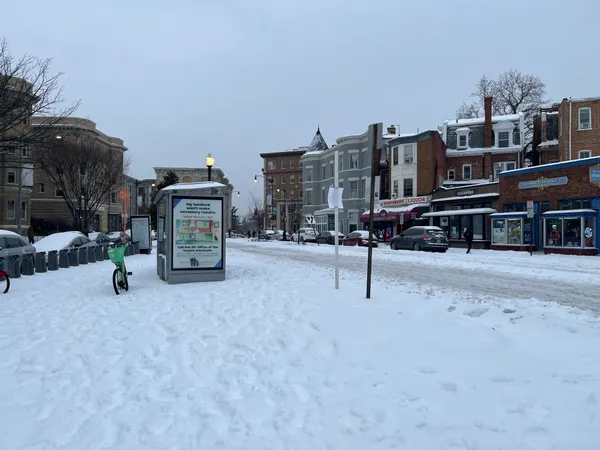
The District woke up to a frigid start this Sunday, February 8, 2026, as an intense arctic air mass continues to grip the capital. Early morning temperatures hovered around a bone-chilling 10°F, but the real story remains the dangerous wind chill. An Extreme Cold Warning was in effect through the early hours, with wind chill values plummeting between -10°F and -20°F in several parts of the metropolitan area. Despite the clear, bright blue skies, the National Weather Service and local meteorologists have urged residents to limit outdoor exposure to avoid frostbite and hypothermia.
Afternoon: Persistent Breezes and Frigid Highs
As we move into the afternoon, the sun will remain a constant companion, but it will provide little in the way of warmth. High temperatures are expected to peak only in the low-to-mid 20s, significantly below the historical average for early February. While the damaging gusts from yesterday’s storm have subsided, a steady northwest breeze remains. Sustained winds will likely blow between 10 and 15 mph, with occasional gusts reaching up to 25 mph. These persistent winds will keep the "feels like" temperature stuck in the low teens throughout the afternoon, making even a short walk to the Metro feel like an expedition.
Evening: A Clear and Frosty Night
The evening forecast calls for continued clear conditions, providing a beautiful but deceptive view of the city. As soon as the sun sets, temperatures will drop rapidly back into the low teens and single digits. Sunday night will see lows ranging from 5°F to 15°F, with the wind chill once again eyeing the zero-degree mark in the colder suburban pockets. While the chance of precipitation is negligible at less than 10%, the primary concern for the overnight hours remains the potential for black ice on side streets where any residual melting from earlier in the week may have refrozen.
Safety and Travel Notices
Washingtonians are advised to dress in multiple layers of loose-fitting, warm clothing if they must go outside. Following the reported 10,000 power outages during yesterday's high-wind event, utility crews are still working to restore full service in some neighborhoods. Residents should ensure that pets are brought indoors and that elderly neighbors are checked on during this period of extreme cold. Looking ahead, the deep freeze is expected to begin moderating by Tuesday, but for now, the city remains locked in winter’s icy embrace. Expect clear visibility for any evening travel, but stay cautious of the lingering frigid conditions.